|
| *****SWAAG_ID***** | 953 |
| Date Entered | 06/10/2016 |
| Updated on | 06/10/2016 |
| Recorded by | Tim Laurie |
| Category | Mining Related |
| Record Type | Mining |
| Site Access | Public Access Land |
| Record Date | 30/09/2016 |
| Location | Arkengarthdale, Little Windegg |
| Civil Parish | Arkengarthdale |
| Brit. National Grid | NZ 0090 0486 |
| Altitude | 470m |
| Geology | Sandstone below The Main Limestone. |
| Record Name | Lead bale below Little Windegg Scar |
| Record Description | Well preserved lead bale with pit feature. Splashes of creamy lead silicate present on burnt stone. |
| Dimensions | See photos |
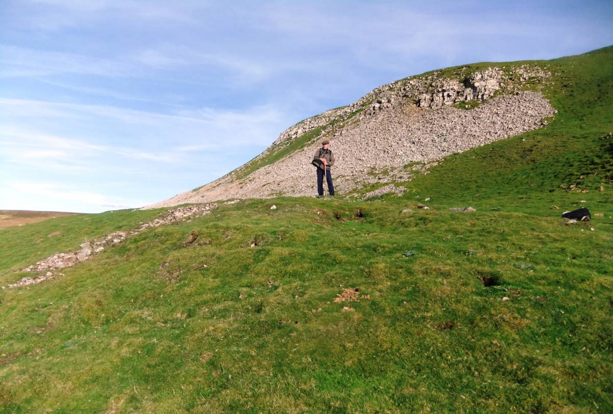
| Additional Notes | This fine lead bale site is located immediately below the spoil heap of a lead mine level driven into the Main Limestone, see photos. The entrance to this level is very narrow and now entirely closed by rubble. This mine was probably a trial. |
| Image 1 ID | 6975 Click image to enlarge |
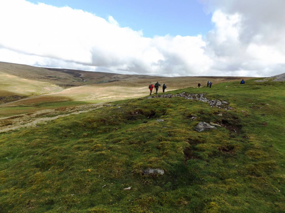
| Image 1 Description | Little Windegg. Lead bale and Lead Mine trial level spoil heap and entrance. | 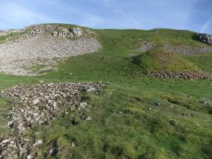 |
| Image 2 ID | 6976 Click image to enlarge |
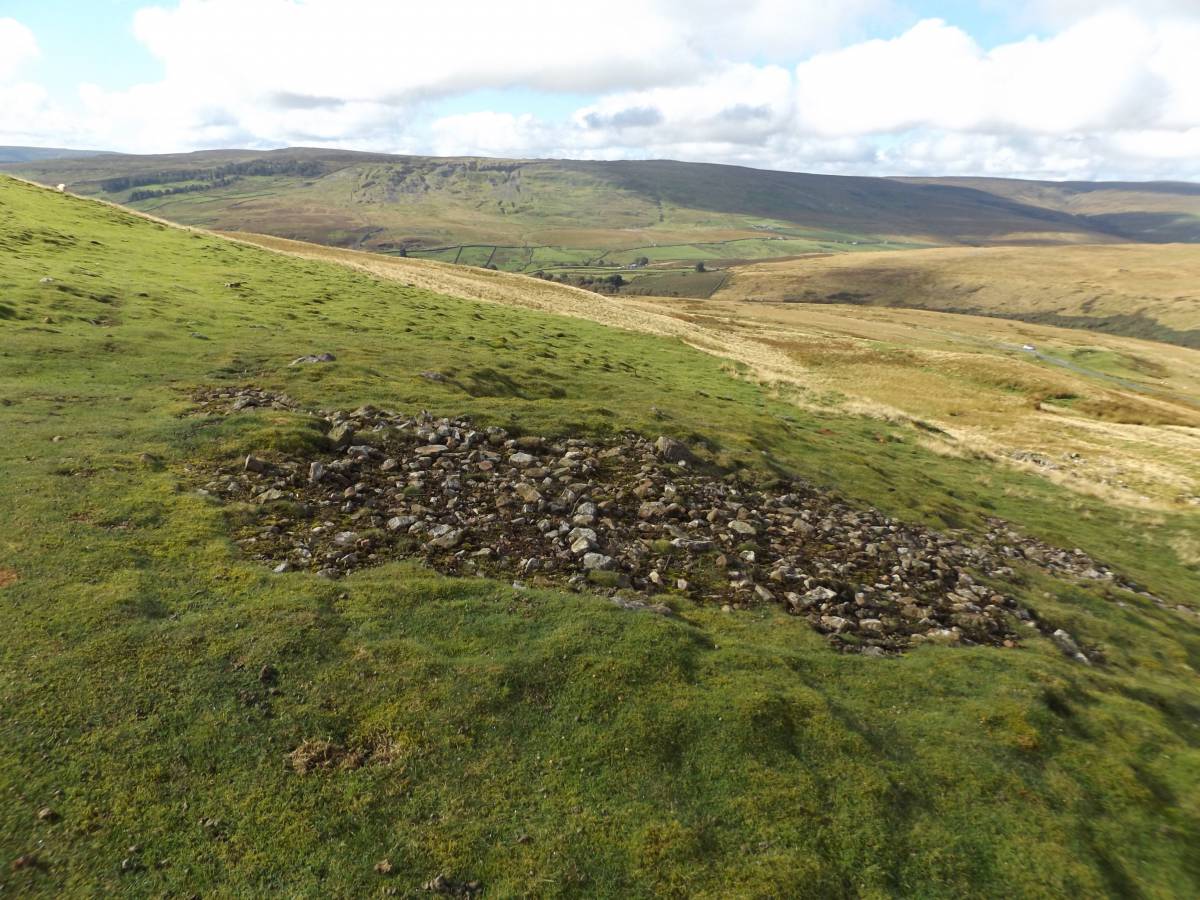
| Image 2 Description | Little Windegg. Lead Bale with pit feature. |  |
| Image 3 ID | 6977 Click image to enlarge |
| Image 3 Description | Little Windegg. Lead Bale with pit feature. | 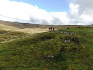 |
| Image 4 ID | 6978 Click image to enlarge |
| Image 4 Description | Little Windegg. Lead Bale seen from below. | 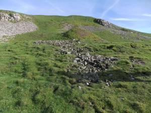 |
| Image 5 ID | 6979 Click image to enlarge |
| Image 5 Description | Little Windegg. Lead silicate on burnt stone. | 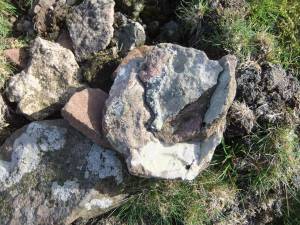 |
| Image 6 ID | 6980 Click image to enlarge |
| Image 6 Description | Little Windegg. Lead Bale with pit feature. Photographed from top of lead mine spoil heap |  |
| Image 7 ID | 6981 Click image to enlarge |
| Image 7 Description | Little Windegg. Lead Bale seen from the east. | 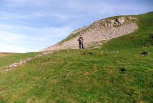 |